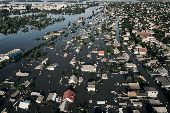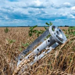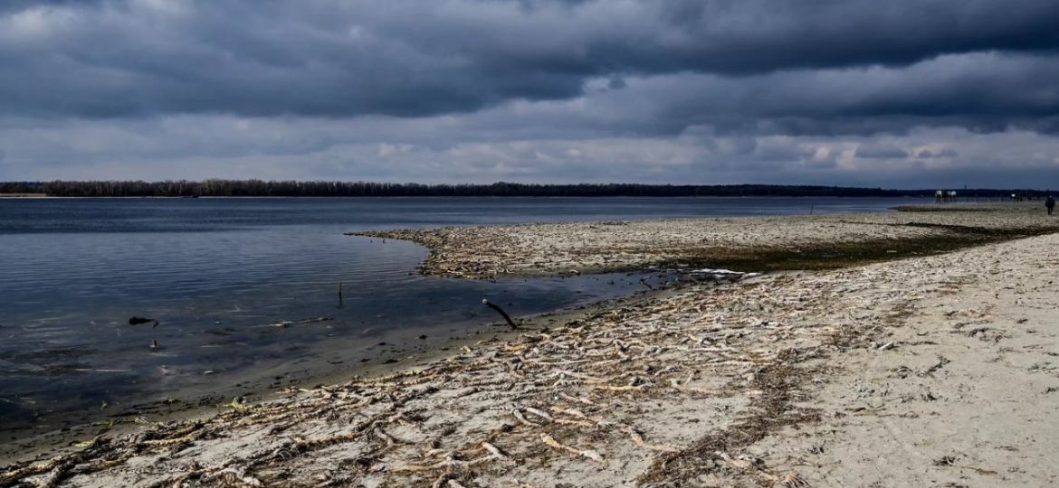
Aerospace monitoring in the reclamation of agricultural land that has been man-made damaged as a result of the destruction of the Kakhovka hydroelectric power station dam is one of the new concepts that are participating in the scientific competition of the Ukraine Reconstruction Fund.
The author of the paper is Pavlo Lykhovyd, Doctor of Agricultural Sciences.
He notes that the destruction of the Kakhovka HPP dam is one of the largest man-made disasters, the real scale and consequences of which for the Ukrainian environment may exceed all current estimates.
“An important task of Ukrainian agricultural science in the period of post-war reconstruction will be the reclamation of these lands and the restoration of agroecosystems. The relevant agro-reclamation measures should be carried out under strict control with the recording of changes occurring at the level of soils and cultivated plants,” the scientist emphasizes.
The main and most reliable means of such control is ground surveys and observations. However, they require high investment, labor and time. Aerial imagery can improve monitoring and reduce costs.
In his project, Pavlo Lykhovyd proposes to explore the possibilities of aerospace monitoring in several stages to control the state of land resources and agrophytocenoses in the context of ensuring sustainable environmental management.
As a result, the project aims to improve the organization and implementation of reclamation measures for technologically damaged agricultural land and to gain new theoretical knowledge about the possibilities of using aerial photography in agricultural science.


